Successful Flare Stack Inspections Using Drones
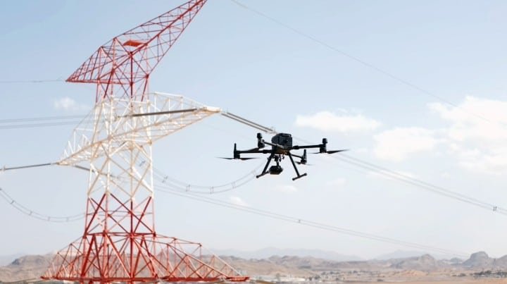
Flare stacks are critical components in the oil and gas industry, used to safely burn off excess gases during production. However, inspecting these towering structures has traditionally been a challenging and risky task. The height, locations and active status of most flare stacks make them difficult to access and inspect using traditional methods. Incorporating drone inspection services and using unmanned aircraft allows companies to safely inspect flare stacks, ensuring they are functioning properly or if any maintenance is required.

How Commercial Drones are Reinforcing the Three Pillars of Sustainability?
Technological advancement is key to building a sustainable future and commercial drone technology is helping mankind make significant strides in our quest. What was initially seen as tools for filming and recreation, has now permeated deeply across industries promoting sustainability in truly innovative ways. Let’s dive deep into how the adoption of commercial drones impacts three pillars of sustainability: Planet, People and Profit

Sustainable Farming: Drones and Multispectral Imaging
Sustainability is much more than a buzzword in the world of agriculture – it’s an essential consideration for efficiency and growth in the industry. Incorporating drone technology (specifically drones using multispectral cameras) for agriculture can help to enhance productivity whilst also being mindful of the environment and farming responsibly. These technologies are used effectively for drone land surveying but with the inclusion of multispectral cameras, there are even more possibilities.

How Drones Complement Land Surveying for Urban Development
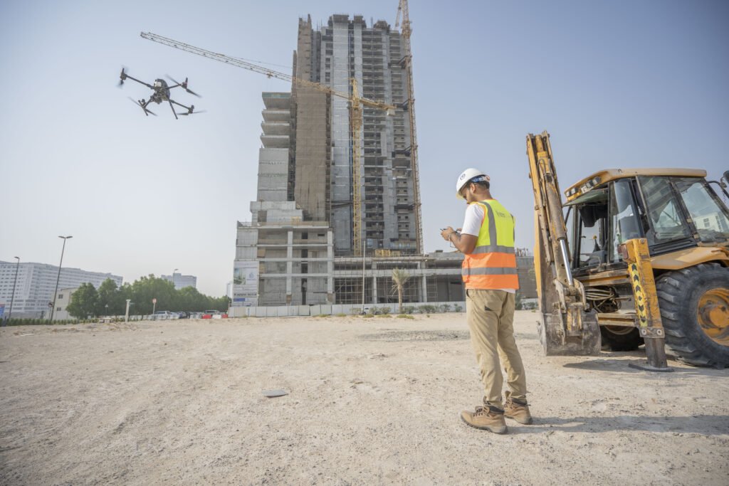
With an urban population of around 87.54%, the UAE is in a constant state of urban development. This demand brings the challenge of improving efficiency drastically, and drones are poised to bridge this gap, making the process much smoother and more efficient with aerial surveying. There are many ways to incorporate the use of drones in urban planning from monitoring construction progress to analysing the effectiveness of a new development. Let’s take a closer look at the use of drones in urban planning and development.

Drone Surveying’s Role in Civil Engineering
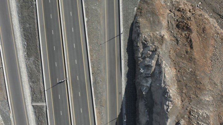
Civil engineering is responsible for keeping our cities and communities alive. Civil engineers design and create the systems we need in place to remain functional as a society and as our demands and needs increase, it is an industry which also needs to innovate and develop. Drone topography and other drone applications can have a significant role to play in civil engineering, with drone surveys standing out as the most valuable way of incorporating this technology into the industry.

Excellence at Our Core: Renewing our ISO 21384-3 Certification
In 2022, we became the first drone team in our region to earn the ISO 21384-3 certification, showing our dedication to safety and doing things right. Today, we’ve got more great news: we’ve renewed that certification! This is all part of our ongoing commitment to maintain high standards and serve you with the best. Thank you for being with us on this journey.


