Skip to main content
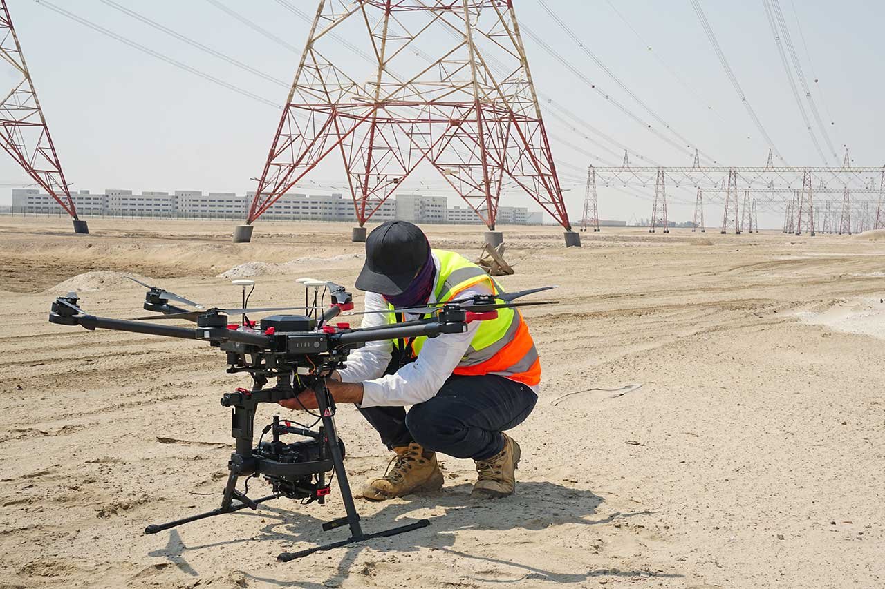
The Secret Recipe for Mapping 20 sqkm in 90 mins with 2.5 cm GSD
June 27, 2021
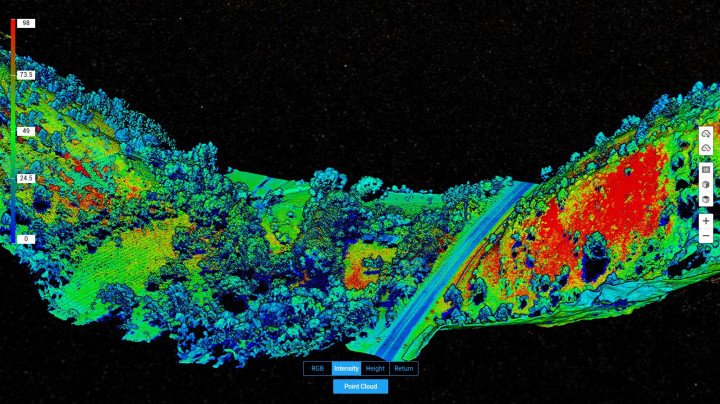
How DJI’s L1 Makes Right of Way Surveys Flexible and Practical
June 15, 2021
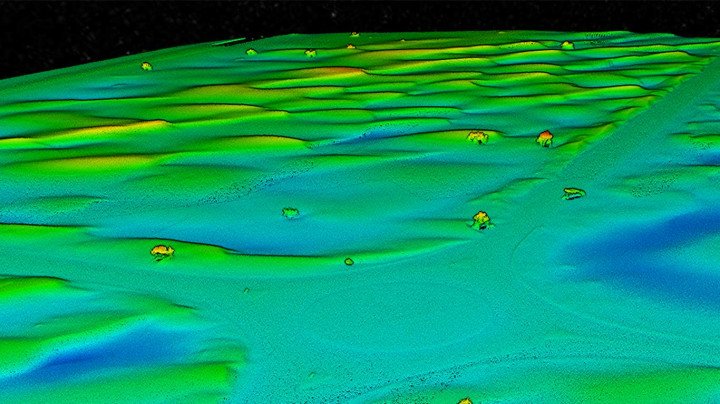
LiDAR Mapping Made Accessible with DJI Zenmuse L1
May 25, 2021

How Drones Make Asset Inspections in Oil and Gas Safer
May 19, 2021
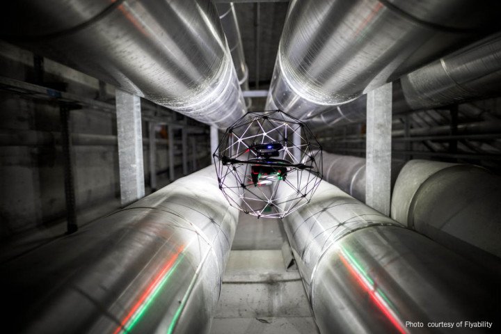
6 Ways the Oil & Gas Industry is Using Indoor Drone Inspections to Cut Costs
April 28, 2021

Inspecting One of The World’s Tallest Stacks – Drones Increasing Flare Stack Inspection Efficiency
April 14, 2021

How Integrating Drones With BIM Can Improve Your Construction Site
March 29, 2021

How Drones Make Metro Tunnel Inspections Faster, Safer, and Cost-Effective
March 18, 2021
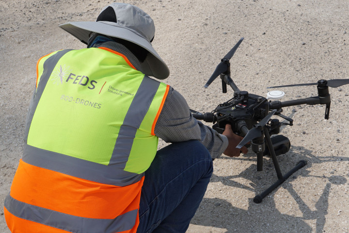
The Problem of a Texture-less Desert and How DJI’s Zenmuse P1 Solved It
February 23, 2021

Counting Camels in The Desert – Drones Lead a Path to Sustainable Agriculture by Mapping 1,100 km2 of Farmlands
February 16, 2021